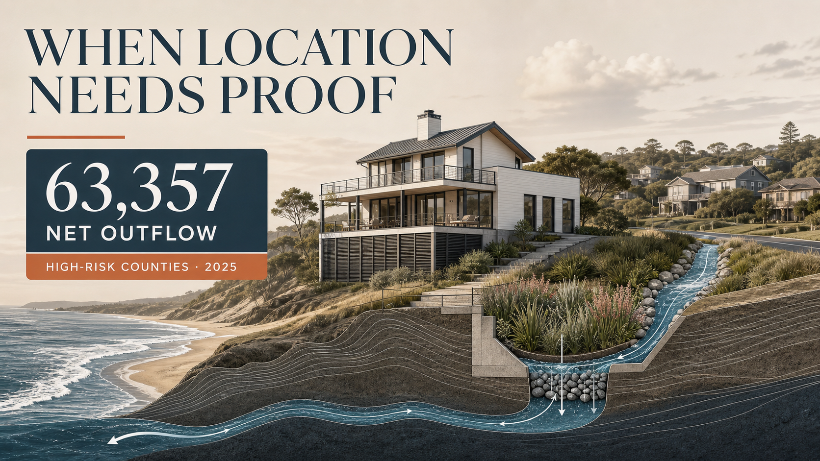
Redfin’s 2025 migration data adds a housing-market dimension to flood-risk discussion. Redfin says its high-flood-risk county group lost 63,357 more domestic residents than it gained in 2025, nearly twice the previous year’s outflow. For listings, the shift makes site context worth explaining rather than treating as scenery.
The June 24 Redfin migration report combines U.S. Census domestic-migration estimates with First Street flood-risk scores. Its result is county-level, not property-level. For listing communication, the result raises a practical question: what does a buyer need to understand about the site before deciding whether to investigate further?
What do Redfin’s 2025 flood-risk migration figures show?
The 2025 outflow was nearly twice 2024’s and contrasted with low-risk counties’ 69,857 net inflow.
What does the migration figure actually describe?
The 63,357 figure is Redfin’s net difference between domestic moves into and out of its high-risk county cohort. It covers July 2024 through July 2025. Redfin defined that cohort as the top 10% of U.S. counties by share of homes facing high flood risk, not as every home in a coastal or storm-prone metro.
Miami-Dade County and Harris County, home to Houston, had the largest reported net outflows in Redfin’s high-risk county group. Redfin’s June 2026 report also found that 182 of the 310 high-flood-risk counties it analyzed gained domestic residents. That variation means a citywide label cannot answer an address-specific question.
The table separates county migration figures from property-specific questions.
Source: Redfin’s June 2026 analysis of U.S. Census domestic-migration estimates and First Street flood-risk scores.
Why does site context become listing information?
Site context becomes listing information when a listing depicts visible relationships among the house, grade, street edge and landscape. A listing can depict the entry sequence, grade, open ground, planting, street edge and light before a buyer reviews a survey, disclosure packet or engineering opinion.
That buyer reading of visible site features is where listing imagery has a useful but limited job. A clear aerial, a labeled site plan or a carefully composed exterior rendering can clarify visible site conditions. It cannot certify drainage, establish a flood elevation or replace the records a buyer needs for an address.
Which five visual details make a home’s setting easier to assess?
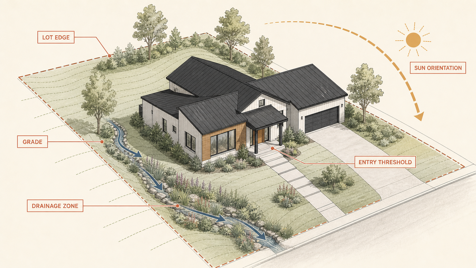
Five visual details make listing site context easier to assess: the lot relationship, grade changes, landscape features, orientation and the image’s stated limits. These visual details reveal whether a listing makes physical questions easier to ask. A tightly cropped or mood-led exterior image can leave those questions unclear.
- ✓Frame the house within the lot. A wider exterior view can establish the street edge, adjacent structures, planting and open ground that a tight façade crop removes.
- ✓Make grade changes legible. Steps, retaining edges, raised thresholds and level changes deserve an angle that explains their relationship, not a lens choice that flattens them away.
- ✓Include landscape as context, not decoration. A rain garden, swale, planting bed, hardscape edge or mature tree can depict drainage-related features without establishing where water will travel.
- ✓Explain orientation when it changes the experience. A caption or plan can identify the relationship among sun, views, outdoor rooms and the home’s principal spaces without pretending that light alone answers risk questions.
- ✓Label the limit of the image. A listing can direct a viewer to the documents needed for address-specific questions rather than implying that a clean visual completes due diligence.
These listing views can make a home’s setting easier to read, while property-specific records remain necessary for risk questions.
What belongs beside the image when a buyer needs more context?
Address-specific records and local-source references belong beside a listing image when a buyer needs more context. The exterior image explains the visible setting, while written materials identify where a buyer can find address-specific information. A short caption can name a landscape feature without claiming that the feature eliminates a hazard or meets a technical standard.
To distinguish visible context from address-specific verification, a listing can start with a clear photograph, rendering or site diagram and then direct viewers to available records and relevant local sources. That sequence distinguishes visible context from the address-specific evidence supplied by a map, survey or engineering report.

The distinction between a visual cue and address-specific risk information matters because risk information is not always packaged in one place. Realtor.com’s 2025 climate-risk report noted that FEMA flood-hazard areas and broader modelled risk measures can describe different exposures. For listing communication, that distinction argues against treating one badge, map layer or visual cue as a complete answer.
Showing the arrival, grade and outdoor setting before a visit can leave more time for address-specific questions that a photograph cannot answer.
Visual work is more useful when it explains the site than when it emphasizes atmosphere over visible context. The distinction matters because site imagery should clarify visible context without standing in for the records used to evaluate an individual property.
What should imagery never be asked to prove?
Listing imagery cannot prove insurability, storm performance, a flood elevation or whether a buyer should proceed. A buyer who wants to understand one property still needs address-specific information from local floodplain records, seller disclosures, surveys, permits, insurers and qualified professionals, as relevant.
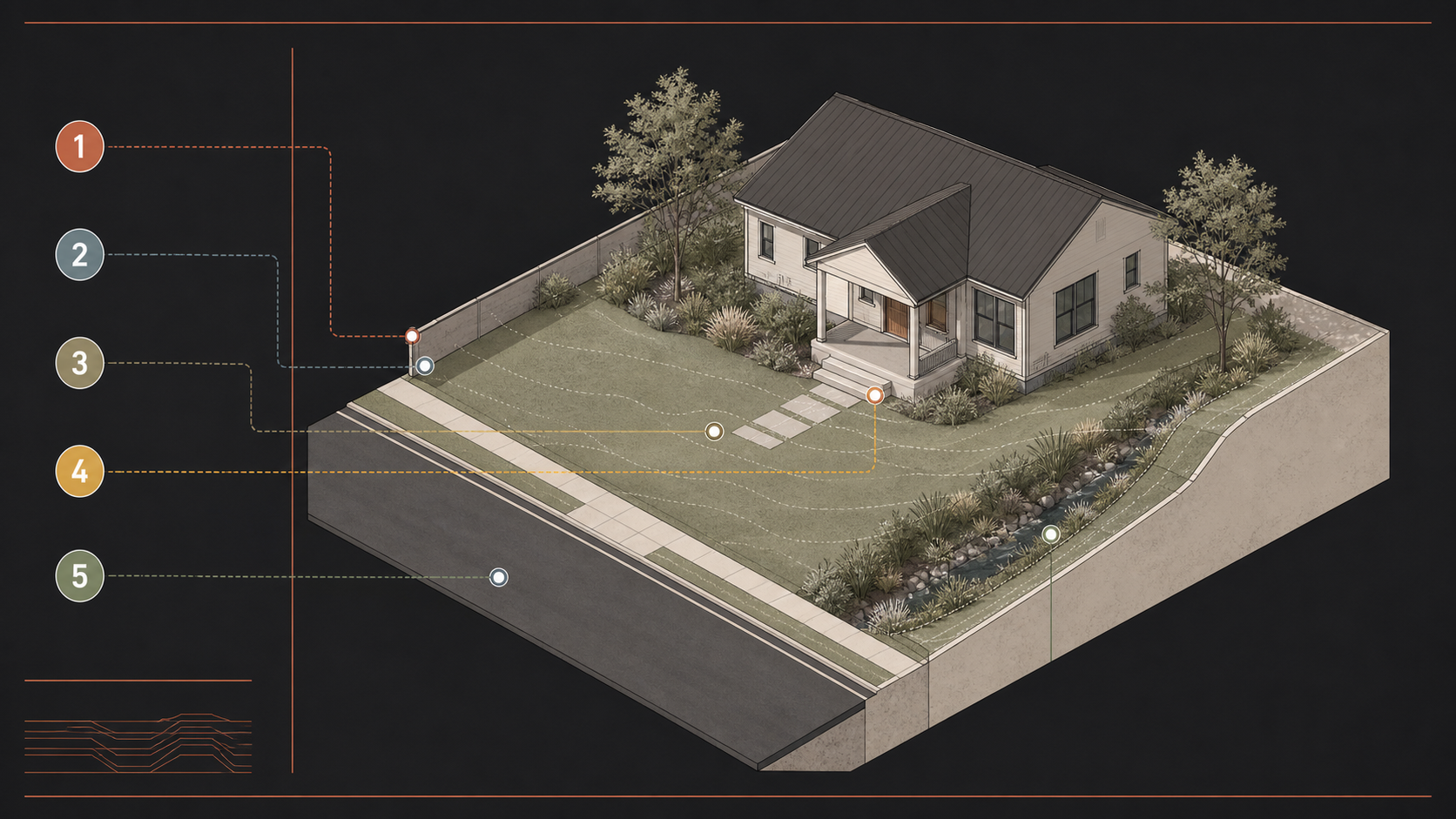
Keeping visual explanation distinct from property proof avoids presenting a listing image as evidence of property-specific performance. In a market where more owners are reconsidering how and when to list, visual clarity lets viewers begin with a more defined set of questions than a vague promise that a location is “private,” “protected” or “perfectly positioned.”
How can sellers show the setting without overselling it?
To show a setting without overselling it, sellers can combine a street approach, wider exterior, site-aware plan and captions that describe only what is visible. That approach is especially useful where outdoor space is part of the purchase decision, much as walkability changes how buyers read a neighborhood.
For homes not yet built or renovated, a carefully bounded architectural visualization can depict the arrival sequence, grade relationship and landscape intent before a photograph exists. The image remains an illustrative communication tool, and the caption should say so plainly.

The takeaway
Redfin’s migration figures do not turn a photograph into a risk report. As location questions become more detailed, a listing can clarify site context by showing it clearly and stating what the image cannot answer.